A story of a long-planned scenic bike ride along the Naas Valley in Namadgi National park, or how an easy 30 km family ride along the river valley turned into a full day family
Mind the bulls when parking
We are starting the ride from the only obvious parking space, next to a historical sign near where Top Naas Road crosses Gudgenby creek. While the place looks like an
Fortunately for us, after a short discussion, we are allowed to park behind his front gate on the main access track to his house, where the bulls will not go. We are definitely on a private property now, but having a permission from the owner makes all the difference. Our big thank you goes to the friendly Naas Valley farmers.
That said, next time I would park at the public part of the Naas Valley Rd. road near the
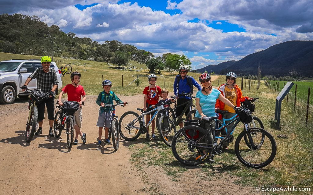
The whole company at the start of the ride. This is where you are NOT supposed to park, apparently.
Top Naas Road
The first part of the ride along the Top Naas Road crosses private farmland on a publicly accessible gravel road. Gradients are easy, weather beautiful and the road winding through the countryside is scenic. Everyone is happy – this is exactly what we came here for.

An easy start on the Naas Valley Road 
An easy ride on the Naas Valley Road 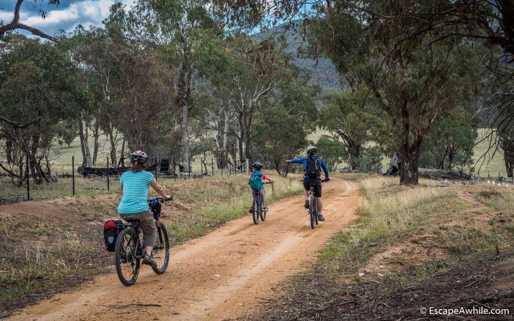
An easy ride on the Naas Valley Road 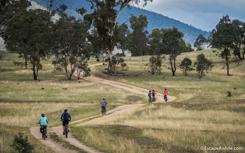
Open farmland and scenic views on the Naas Valley Road
Shortly after passing through Caloola Farm we cross the Naas River over a shallow concrete ford and follow a Naas Valley Fire trail to the Namadgi National park gate. A small sign informs us that we have 30km to go before we reach Boboyan Road.

The whole party at the Namadgi National Park Gate 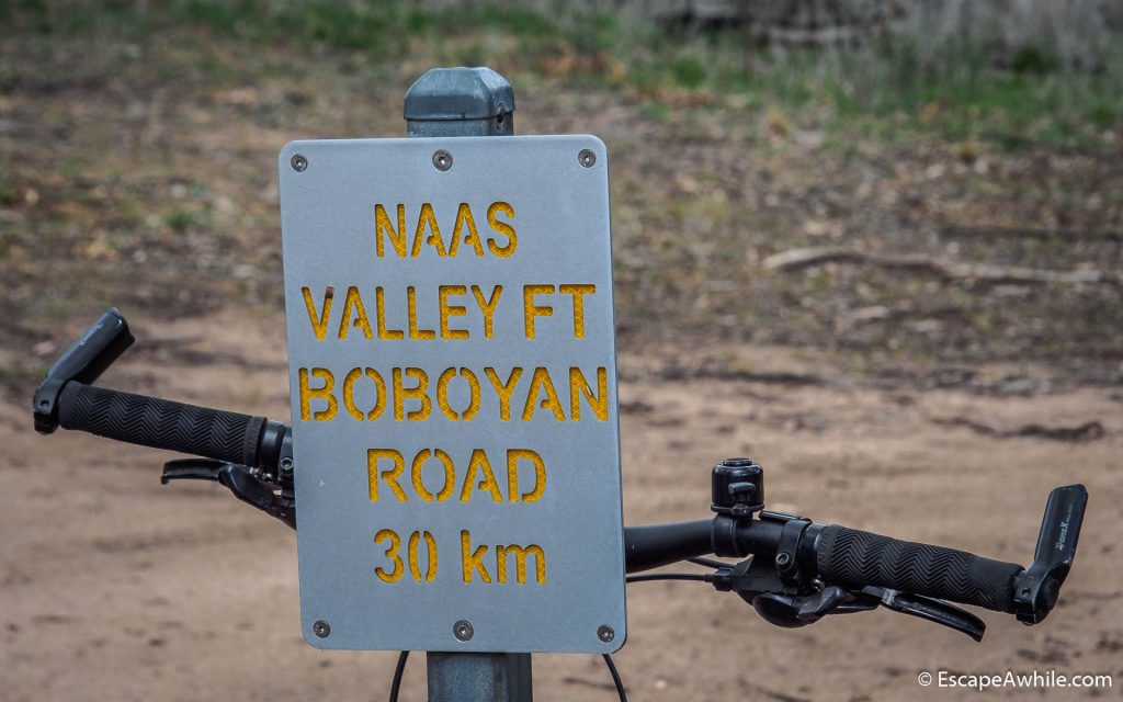
Distance marker at the begining of the Nasas Valley fire trail
Naas Valley fire trail – the not so flat river trail
This is where the fun begins. Naas Valley fire trail winds its way along the Naas river, crossing it multiple times. The first ford is just after the gate. With very little rain over the winter months, there is not much water and the river crossings are easy.

First river crossing shortly after enering the Namadgi national park

Yet another river crossing. 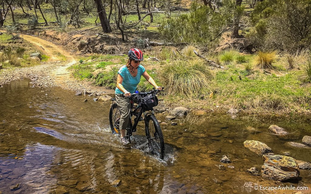
Another one of the fifteen or so river crossings
The part we did not expect is the way the fire trail follows the river. While the river stays reasonably flat, the fire trail climbs up and down over the surrounding ridges that drop to the valley.

Hey dad, why are there such steep hills, when we are following a flat flowing river?
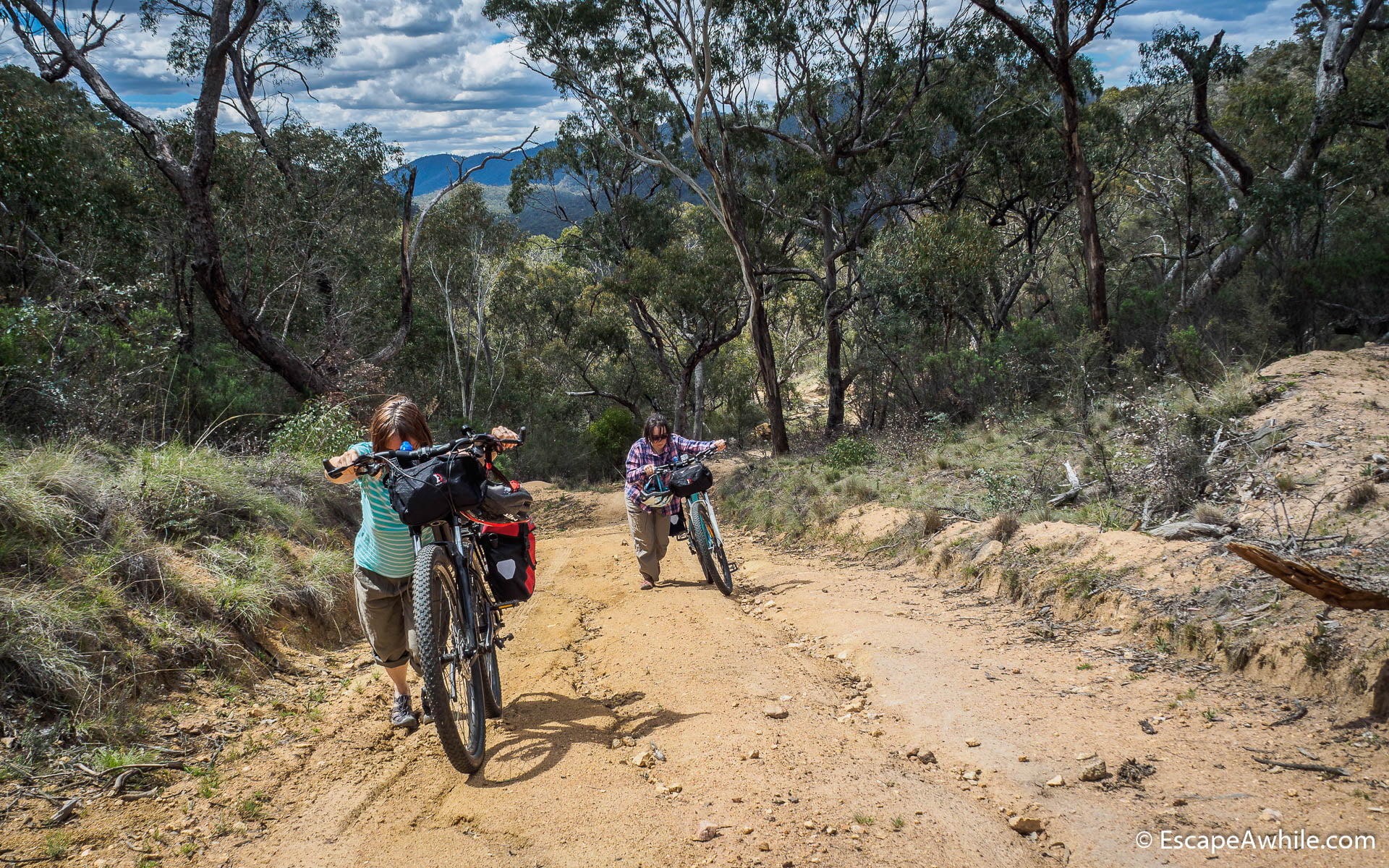
Instead of a nice flat family friendly ride, we follow a proper 4WD trail, complete with low range climbs and obligatory ruts in many places. On most of the climbs, and on an occasional descent, the ride turns into a hike-a-bike exercise. After a few nasty climbs, everyone is getting tired and the moral of the crew goes rapidly down.
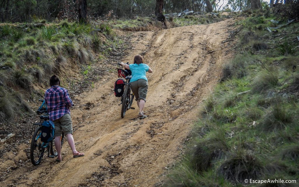
Yet another nasty hill requiring a push

Scenic views seem to be forgotten when you are strugling up the hills…
Short flat sections between the hills become pleasant rests where we can finally do some riding and enjoy the scenic countryside we are passing through.

A rare flat section and lovely scenic views 
More of the rare easy riding we came here for
Horse Gully Hut
One of the highlights of the ride is a Horse Gully hat. Small meadow around the hut would make for a perfect camping spot, but for us, it is a welcome rest. With all the unexpected climbing, we also run out of the water and are glad to find out that the rainwater tank is full.

Horse Guly Hut 
A well deserved rest at Horse Guly Hut
While there are still few climbs after the Horse Gully hut, the worst is behind us. With the sun getting low, we traverse the final open plains to the Mt. Clear campground. There
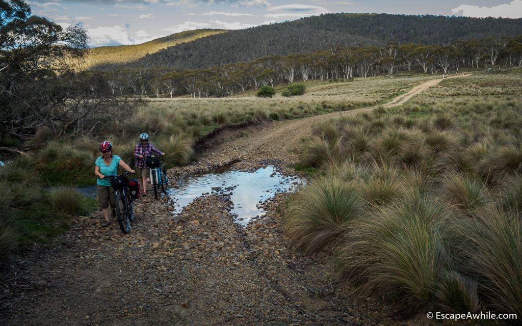
Scenic high plain flats near Mt. Clear campground
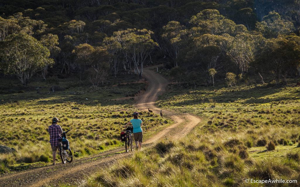
Sun going down and kangaroos along the road. Girls so tired that they walk up even the easy hill. 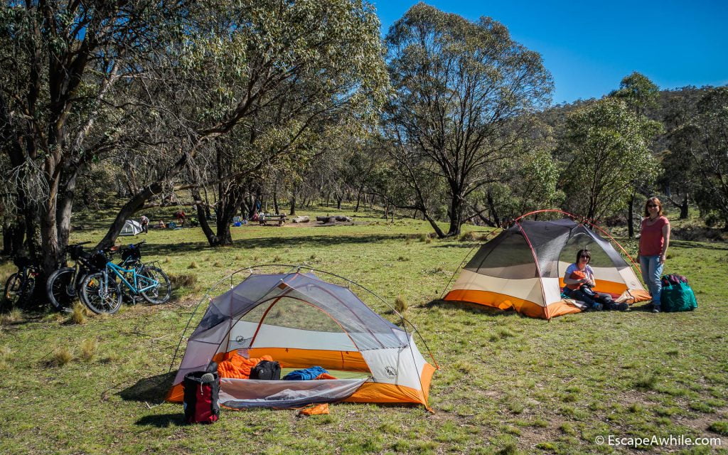
Mt. Clear campground – our destination for the day
Fast facts
| What: | Day bike ride along the Nass Valley in Namadgi National park |
| Length: | Approx. 35km as described, from Gudgenby creek on Top Naas Road to Mt. Clear Campground. Approx. 42 km from the Top Naas Road turn off at Boboyan Rd to Mt. Clear Campground. |
| Time: | If you plan a family ride with kids, plan for 6-7 hrs minimum. For the adults, plan for 3-5hrs, depending on your fitness, off-road riding experience and ability to ride up stupidly steep and rutted hills. |
Practical tips
| Parking | Probably the best place to park your car at the start of the ride is near the main Boboyan Rd at the Top Naas Road turn off. This would add an extra 7km to the ride length. There is a bit of extra space on the side of the road, and you are still on the public roads. Once you cross the first cattle grid on the Top Naas Road, you are on the private property. There are very few places to stop and you will need to seek owners permit to park there. |
| Weather | There are numerous river crossings along the track. Depending on the time of the year the amount of rain these might or might not be easy – be prepared! Similarly, the steep climbs are quite demanding even in cool weather. They would become nightmares on a hot summer day. Time you ride for a cooler day, and take plenty of water to replenish all the sweat. |
| Camping | Mt. Clear Campsite is the official campsite in the Namadgi National park. |
Nice one, thanks for the description of what sounds like a great days adventure
Thanks for publishing this – great! I have been aiming to do this with family and kids for a while now. Mt Clear Camp ground is 1100m asl, Nass is 760m asl. Mt Clear has parking. Did you consider doing it in the other direction?
Cheers,
Bruce
Very late reply, but anyways: Yes, Bruce, makes heaps more sense doing it the other way round. Have done the ride again with a friend (two adults) in November 2021, and this time actually plotted the trail profile on a fancy GPS. Going from the Mt. Clear campsite down to Boboyan road is 990 vertical meters down, but also 662 meters up. Still a reasonably hard ride, but better than all the way going up. Se the track & stats here: https://connect.garmin.com/modern/activity/7743336524
I have done the first half of this, from caloola to the hut.going to do the back half very soon!